

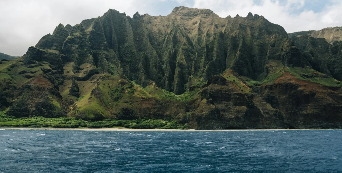
The convergence of ancient maritime wisdom and modern corporate strategy has taken center stage in the latest discourse on leadership and organizational clarity. In Episode 282 of the Anecdotally Speaking podcast, hosts Mark Schenk and Shawn Callahan explore the profound implications of Polynesian "wayfinding"—a traditional system of open-ocean navigation—and its application to the challenges of 21st-century business environments. The episode centers on the historical revival of the Hōkūleʻa, a traditional double-hulled voyaging canoe, and the vital role of "vivid mental destinations" in achieving strategic success.
For centuries, the story of Polynesian migration was a subject of intense academic debate and, at times, cultural dismissal. However, the successful 1976 voyage from Hawaii to Tahiti using only ancestral methods provided more than just a historical correction; it offered a blueprint for how modern leaders can align their teams around a shared vision. As organizations grapple with volatile markets and the rapid obsolescence of technical tools, the principles of wayfinding—relying on internal clarity rather than external instrumentation—provide a timely framework for sustainable leadership.
The Historical Context of Polynesian Wayfinding
The history of Polynesian navigation is one of the most remarkable feats of human exploration. Between 3000 BCE and 1000 CE, Austronesian-speaking peoples settled a vast triangular region of the Pacific Ocean, stretching from Hawaii in the north to Easter Island (Rapa Nui) in the southeast and New Zealand (Aotearoa) in the southwest. This area, often referred to as the Polynesian Triangle, covers more than 10 million square miles of open water.
Unlike Western explorers who relied on the magnetic compass, the sextant, and later the chronometer, Polynesian navigators used "wayfinding." This holistic system involved interpreting the natural world: the rising and setting points of stars, the direction of ocean swells, the flight patterns of migratory birds, and the color of the underside of clouds. By the time Captain James Cook entered the Pacific in the late 18th century, he was astonished to find that islanders possessed an intimate knowledge of the sea that rivaled Western cartography.
However, the introduction of Western technology and the impacts of colonization led to a rapid decline in traditional knowledge. By the mid-20th century, the art of wayfinding was on the brink of extinction. In 1956, New Zealand historian Andrew Sharp published "Ancient Voyagers in the Pacific," arguing that Polynesians had settled the islands by accident, drifting aimlessly rather than navigating with intent. This "Drift Theory" stripped the Polynesian people of their heritage as master explorers, creating a cultural vacuum that would not be challenged until the 1970s.
The 1970s Renaissance and the Birth of the Polynesian Voyaging Society
The impetus for the Hōkūleʻa project was both scientific and cultural. In 1973, the Polynesian Voyaging Society (PVS) was founded by Ben Finney, an anthropologist; Herb Kawainui Kāne, a Hawaiian artist and historian; and Tommy Holmes, a maritime expert. Their objective was to prove that ancient Polynesians could have intentionally navigated the 2,500-mile journey between Hawaii and Tahiti.

The construction of the Hōkūleʻa—a 62-foot-long, 15-foot-wide double-hulled canoe—was a monumental undertaking. However, the society faced a critical problem: no living Hawaiian possessed the knowledge to navigate the vessel across the open ocean without modern instruments. The search for a navigator eventually led them to Satawal, a small coral island in Micronesia, where a master navigator named Mau Piailug still practiced the ancient arts.
Mau Piailug’s decision to teach the Hawaiians was controversial in his home community, as the secrets of wayfinding were traditionally guarded within families. Nevertheless, Mau recognized that the survival of the culture depended on the transfer of knowledge. He took on an apprentice, Nainoa Thompson, who would become the first Hawaiian in centuries to master the art of traditional navigation.
The Master and the Apprentice: Seeing the Invisible Island
The core of the Anecdotally Speaking discussion focuses on a pivotal moment between Mau Piailug and Nainoa Thompson during their training. While standing on a beach, Mau asked Thompson if he could "see" Tahiti. At that moment, Tahiti was thousands of miles away, well below the horizon and invisible to the naked eye.
Thompson’s response—that he could not see it with his eyes but could see it in his mind—forms the crux of the leadership lesson. Mau’s reply was definitive: "That is the most important thing. If the navigator can’t see the island in his mind, he is lost."
In wayfinding, the navigator does not perceive the boat as moving through the water. Instead, the navigator holds the image of the destination fixed in their mind and perceives the islands "coming to them" out of the sea. This requires a level of mental discipline and strategic focus that transcends simple data collection. The navigator must integrate hundreds of small, often contradictory signals—a slight change in the temperature of the wind, a subtle shift in the rhythm of the waves—and align them with the mental image of the goal.
Chronology of the 1976 Maiden Voyage
The timeline of the Hōkūleʻa’s first voyage serves as a case study in resilience and the power of vision:
- June 1974: Construction of the Hōkūleʻa begins in Honolulu.
- March 1975: The vessel is launched at Kualoa Regional Park, Oahu.
- May 1, 1976: The Hōkūleʻa departs Honolua Bay, Maui, for Tahiti. The crew consists of 17 members, with Mau Piailug as the primary navigator.
- The Journey: Over the course of 31 days, the crew navigates using only the stars, the sun, and the sea. They face challenges including the "doldrums" (the Intertropical Convergence Zone), where heavy cloud cover obscures the stars for days.
- June 4, 1976: The Hōkūleʻa arrives at Mataiva in the Tuamotu Islands before proceeding to Papeete, Tahiti.
- The Reception: Upon arrival in Papeete, the crew is met by an estimated 17,000 to 20,000 people—more than half the population of Tahiti at the time. The event sparks a massive cultural resurgence across the Pacific, known as the "Hawaiian Renaissance."
Business Implications: Strategy, Culture, and Alignment
The story of the Hōkūleʻa provides a rich metaphor for modern corporate leadership. Mark Schenk and Shawn Callahan identify several key areas where wayfinding principles can be applied to business:

1. The Necessity of a Vivid Mental Destination
In many organizations, "strategy" is often reduced to a set of spreadsheets, KPIs, and abstract mission statements. However, if the leadership team cannot "see Tahiti"—a clear, vivid, and communicable picture of what success looks like—the organization risks drifting. A strategy must be more than a plan; it must be a destination that every "crew member" can visualize. When the market becomes "cloudy" and data is obscured, it is this mental image that keeps the organization on course.
2. Knowledge Transfer and Mentorship
The relationship between Mau Piailug and Nainoa Thompson highlights the importance of tacit knowledge. In the corporate world, critical expertise often resides in the minds of a few senior individuals. Without a deliberate "master-apprentice" model of storytelling and hands-on learning, this institutional wisdom can be lost during leadership transitions. The Anecdote International approach emphasizes using stories to bridge this gap, ensuring that the "how" and "why" of an organization are preserved alongside the "what."
3. Staying Oriented Amidst "Noise"
Modern leaders are inundated with data (the "GPS" of business). While data is useful, it can lead to a "heads-down" approach where leaders focus on immediate metrics while losing sight of the horizon. Wayfinding teaches leaders to look for the "signals" amidst the "noise." For a navigator, a specific type of bird (the white tern) indicates that land is within 40 miles. In business, leaders must identify their own "white terns"—early indicators of market shifts or cultural health—that help them stay oriented toward their long-term goals.
4. Organizational Alignment and Purpose
The success of the Hōkūleʻa was not just the navigator’s achievement; it was the result of a crew acting in total alignment. Every member had to trust the navigator’s vision, even when the destination was not visible. This level of trust is only possible when the vision is shared and the purpose is clear. The massive turnout in Tahiti demonstrated that a clear vision can mobilize not just a team, but an entire community.
Broader Impact and Global Legacy
The legacy of the Hōkūleʻa extends far beyond its initial 1976 voyage. The Polynesian Voyaging Society has continued to sail the vessel, including the "Mālama Honua" Worldwide Voyage (2014–2017), which covered 47,000 nautical miles and visited 26 countries. These voyages are now used to promote environmental stewardship and global connectivity, demonstrating that the "destination" can evolve while the "method" remains constant.
Today, the Hōkūleʻa is equipped with modern safety equipment, including GPS, but it remains sealed in a container, to be opened only in emergencies. This practice serves as a powerful symbolic reminder for modern organizations: tools and technology are secondary to human insight and the clarity of the mind.
As analyzed in the podcast, the story of Mau and Nainoa is a "foundational story" for any leader looking to open a strategy kick-off. It challenges leaders to ask themselves and their teams: "Can you see Tahiti?" If the answer is no, no amount of technology or data will prevent the organization from drifting. By fostering a culture of storytelling and vivid visualization, leaders can ensure that their organizations are not just moving, but truly navigating toward a meaningful destination.
