

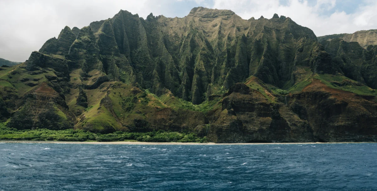
In the latest installment of the Anecdotally Speaking podcast, Episode 282, hosts Mark and Shawn explore the profound intersections between ancient Polynesian maritime traditions and contemporary organizational leadership. The episode centers on the historic 1976 voyage of the Hōkūleʻa, a traditional double-hulled voyaging canoe, which traveled from Hawaii to Tahiti using only non-instrument navigation. This feat, which reclaimed a nearly extinct cultural heritage, serves as a powerful case study for modern executives on the necessity of visionary clarity, strategic alignment, and the preservation of institutional knowledge. By examining the relationship between master navigator Mau Piailug and his apprentice Nainoa Thompson, the podcast highlights a fundamental leadership truth: that the ability to visualize a destination is the prerequisite for reaching it, whether on the open ocean or in the boardroom.
The Historical Context of Polynesian Wayfinding
For over three millennia, Polynesian explorers settled the vast "Polynesian Triangle," an area of the Pacific Ocean encompassing roughly 10 million square miles, with its corners at Hawaii, Easter Island (Rapa Nui), and New Zealand (Aotearoa). These voyages were conducted without the aid of compasses, sextants, or chronometers—tools that would not be perfected in Europe until the 18th century. Instead, Polynesian "wayfinders" relied on a sophisticated system of natural observations, including the rising and setting of stars, the direction of ocean swells, the flight paths of specific birds, and the subtle shifts in wind and water color.
When Captain James Cook entered the Pacific in the late 1700s, he was reportedly stunned by the presence of indigenous peoples on isolated islands separated by thousands of miles of open sea. Despite Cook’s observations, 19th and early 20th-century Western scholarship often dismissed the idea of intentional Polynesian exploration. In 1956, historian Andrew Sharp published "Ancient Voyagers in the Pacific," which argued that the islands were settled by "accidental drift"—islanders lost at sea who happened upon land by chance. This theory suggested that the Polynesians lacked the agency and technical skill to navigate intentionally across the vast Pacific reaches.
The 1970s Cultural Renaissance and the Birth of the Hōkūleʻa
By the mid-20th century, the traditional art of wayfinding was on the brink of extinction. In Hawaii, the suppression of indigenous culture and the transition to Western technology meant that no living Hawaiian possessed the knowledge to navigate a canoe across the 2,500-mile stretch to Tahiti.
In 1973, the Polynesian Voyaging Society (PVS) was founded by nautical anthropologist Ben Finney, artist Herb Kawainui Kāne, and sailor Tommy Holmes. Their mission was twofold: to prove that Polynesians were capable of intentional long-distance voyaging and to spark a cultural revival among the Hawaiian people. To achieve this, they commissioned the construction of the Hōkūleʻa (Star of Gladness), a performance-accurate replica of an ancient voyaging vessel.
The primary challenge, however, was not the vessel but the data. The PVS needed a navigator who could guide the ship without modern instruments. Their search eventually led them to the tiny island of Satawal in Micronesia, where a master navigator named Mau Piailug still practiced the ancient "Star Compass" system. Piailug, recognizing that his own culture’s traditions were also at risk, agreed to share his sacred knowledge with the Hawaiians, specifically mentoring a young apprentice named Nainoa Thompson.

The Pedagogy of Wayfinding: A Master-Apprentice Chronology
The training of Nainoa Thompson by Mau Piailug serves as a masterclass in knowledge transfer and leadership development. The process was not academic but experiential and deeply sensory.
- The Observation Phase: Mau taught Thompson to observe hundreds of data points daily. This included the "Star Compass," a mental construct that divided the horizon into 32 houses where stars rise and set.
- The Sensory Integration: Beyond visual cues, Mau taught Thompson to feel the ocean. A navigator must be able to distinguish between different types of swells—those generated by distant storms versus those reflected off nearby islands. Thompson reportedly spent hours in the water and on the deck, learning to "read" the motion of the boat through his body.
- The Biological Indicators: The duo studied the behavior of birds such as the White Tern (Manu-o-Kū) and the Brown Noddy. Because these birds fly out to sea to fish in the morning and return to land at night, their flight paths provide a biological "GPS" for locating land hidden over the horizon.
- The Mental Construct: The most critical component was the mental map. Mau insisted that the navigator must "hold the island in his mind." In wayfinding, the navigator does not see himself as moving toward an island; rather, he envisions the island moving toward the boat. If the mental image falters, the orientation of the entire vessel is lost.
The 1976 Voyage: Data and Results
In May 1976, the Hōkūleʻa set sail from Honolua Bay, Maui, bound for Papeete, Tahiti. The journey covered approximately 2,500 nautical miles. Without a single modern instrument, Mau Piailug guided the crew through the "Doldrums"—a region near the equator known for erratic winds and heavy cloud cover that obscures the stars.
The voyage was a resounding success. After 34 days at sea, the Hōkūleʻa arrived in Tahiti. The arrival was met with an unprecedented response; an estimated 20,000 people—nearly half the population of Tahiti at the time—gathered on the beach to welcome the vessel. This event is widely credited with launching the "Hawaiian Renaissance," a period of renewed interest in Hawaiian language, music, and traditional arts.
From a technical standpoint, the voyage debunked the "drift theory." It proved that the ancient techniques were not only viable but highly precise. Today, the PVS continues these voyages. During their "Malama Honua" worldwide voyage (2014–2017), the Hōkūleʻa covered over 40,000 nautical miles, visiting 150 ports in 27 nations, continuing to rely on the stars and the sea.
Leadership Analysis: The "Tahiti" of Strategic Vision
The Anecdotally Speaking podcast draws a direct parallel between Mau Piailug’s question to Nainoa Thompson—"Can you see Tahiti?"—and the challenges faced by modern business leaders. In the corporate context, "Tahiti" represents the strategic objective or the long-term vision of the organization.
1. The Necessity of Mental Clarity
Mau’s assertion—"If the navigator can’t see the island in his mind, he is lost"—is the core of the episode’s analysis. In leadership, a strategy is often a set of abstract goals or financial targets. However, for a team to navigate through market volatility (the "ocean swells"), the leader must provide a vivid, almost tangible mental picture of the destination. Without this clarity, teams become "drifters," reacting to short-term pressures rather than navigating toward a defined purpose.
2. Strategic Alignment and Team Cohesion
The Hōkūleʻa required a crew of 15 to 20 people to operate. While only the navigator "saw" the island in his mind initially, the success of the voyage depended on the crew’s trust in that vision. In organizational terms, this highlights the importance of alignment. When a leader can articulate a vision so clearly that the employees can "see" it themselves, the organization achieves a level of synergy that transcends mere process adherence.

3. Knowledge Transfer and Succession Planning
The relationship between Mau and Nainoa illustrates the importance of intentional mentorship. In many modern companies, "institutional memory" is lost when senior leaders retire. The Polynesian model suggests that the most critical skills—those that allow an organization to navigate through crises—are often those passed down through storytelling and shared experience rather than through manuals or digital databases.
Broader Impact and Organizational Implications
The story of the Hōkūleʻa is more than a historical anecdote; it is a framework for what Anecdote International describes as "storytelling with a purpose." By utilizing these types of narratives, organizations can humanize their strategies and make complex goals more accessible to their workforce.
Implications for Strategy Kick-offs:
The podcast suggests that leaders use the Hōkūleʻa story to open strategy sessions. It shifts the focus from "what" the company is doing (the instruments) to "why" and "where" they are going (the vision). It challenges team members to ask themselves if they can "see the island" or if they are merely following coordinates without understanding the destination.
Implications for Cultural Alignment:
Just as the Hōkūleʻa voyage restored pride and identity to a culture, a well-communicated corporate narrative can restore sense of purpose to a disengaged workforce. In an era of remote work and digital transformation, the "human" element—the shared story—becomes the glue that holds the organization together.
Conclusion: Navigating by the Stars in a Digital Age
As Episode 282 of Anecdotally Speaking concludes, the hosts emphasize that while modern tools like GPS and AI are invaluable, they are no substitute for the human capacity for vision. The Hōkūleʻa still carries a GPS in a sealed container for emergencies, but the navigators do not use it. They rely on their training, their senses, and their mental maps.
For today’s leaders, the lesson is clear: technology provides the data, but the leader provides the direction. In a business landscape characterized by constant change and "foggy" conditions, the most successful organizations will be those led by individuals who, like Nainoa Thompson, can look at an empty horizon and see the island that lies just beyond it. By fostering this level of visionary clarity, companies can ensure they are not merely drifting with the currents of the market, but are actively navigating toward a prosperous and meaningful future.
